Sleighter Design

At Sleighter Design, our goal is to be both accurate and efficient with every project. We believe that accurate and complete survey and mapping will set the stage for a successful project.
At Sleighter Design, our goal is to be both accurate and efficient with every project. We believe that accurate and complete survey and mapping will set the stage for a successful project.
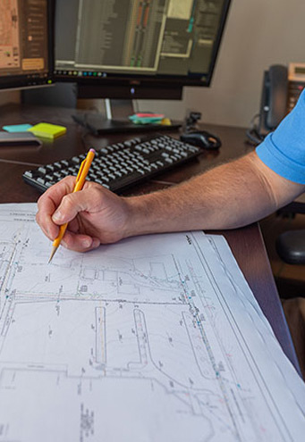
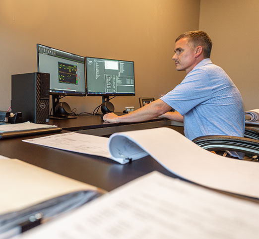
One of our biggest advantages at Sleighter Design is the efficiency of our team to get the job done. By having our surveying, engineering and architecture teams all under one roof, we are able to streamline the process and communication.
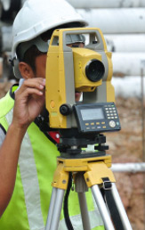
Our survey field crews utilize the latest technology for fast and accurate information. We operate VRS network GPS units and Robotic Total Stations. Our staff is equipped with up-to-date AutoCad Civil 3D and Arc GIS software.
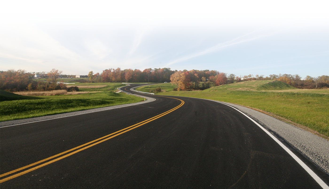
At Sleighter Design, our team offers a variety of technical and experienced surveying, mapping and construction stakeout services to ensure the success of our customers’ projects.
Understanding property boundaries are essential to the design and planning process for any project. Our team is experienced with a range of boundary types from densely populated urban lots through large rural tracts.
Changes in a properties boundaries typically require a subdivision plan and developing a property may require a land development plan. Our team has successfully completed these types of plans throughout the region and can help guide you through the ends and outs of the process.
An understanding of existing elements such as buildings, roads, topography, streams, wetlands, utilities, easements and property lines are essential to any design. At Sleighter Design, we pride ourselves in accurately surveying each of these elements and depicting them clearly on our plans and maps.
Our team has a wealth of experience in construction stake out. This involves understanding existing elements, proposed elements and maintaining accuracy throughout the construction project (wind, snow, rain or shine)!
Whether laying out a building, setting property corners or setting ground monuments for aerial mapping an accurate network of control must be maintained. We achieve this objective by employing experienced field and office staff and outfitting them with the advanced equipment necessary to do their jobs.
Specialized surveys such as ALTA surveys, mortgage surveys, elevations certificates, flood studies and wetland surveys are often required. We complete these surveys on a regular basis and can help you to understand why they are required and how to complete them.